|
| *****SWAAG_ID***** | 268 |
| Date Entered | 06/08/2011 |
| Updated on | 12/11/2011 |
| Recorded by | Tim Laurie |
| Category | Tree Site Record |
| Record Type | Botanical HER |
| Site Access | Public Access Land |
| Record Date | 22/07/2011 |
| Location | East Stonesdale. Uppermost Scar below Hind Hole Waterfall. |
| Civil Parish | Muker |
| Brit. National Grid | NY 89810 02246 |
| Altitude | 396m |
| Geology | Main Limestone. Very small east facing cliff. |
| Record Name | MUK134 East Stonesdale. Small west bank scar with hazel, juniper and stone bramble . |
| Record Description | Single isolated juniper with hazel and stone bramble. |
| Dimensions | N/A |
| Geographical area | Upper Swaledale |
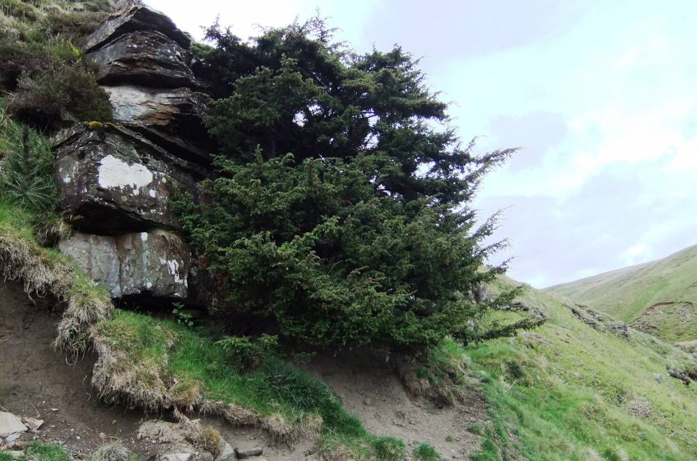
| Additional Notes | The isolated juniper here is large healthy and extremely ancient.The survival of this solitary juniper is due to the fact that it grows on the top edge of a small but vertical cliff and is more or less inaccessible to rabbits and sheep. However rabbits can reach surprisingly high when snow drifts against the cliff and the risk of ring barking of these isolated survivors of the Early Post Glacial Vegetation of Britain is high. |
| Image 1 ID | 943 Click image to enlarge |
| Image 1 Description | East Stonedale. Small Scar below Hind Hole Waterfall. View downstream towards Long Scar. | 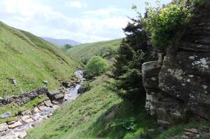 |
| Image 2 ID | 944 Click image to enlarge |
| Image 2 Description | The isolated juniper. |  |
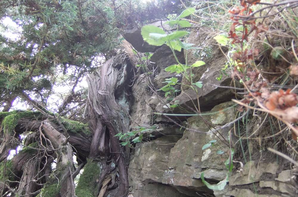
| Image 3 ID | 945 Click image to enlarge |
| Image 3 Description | Detail of the base of the Juniper, with Stone Bramble. |  |
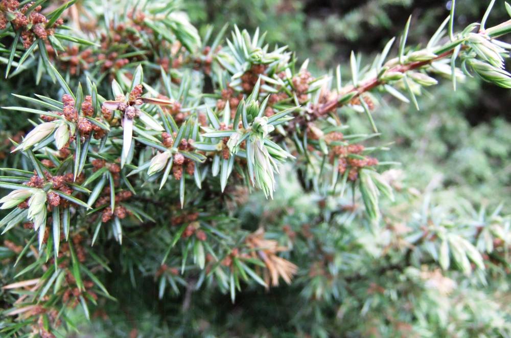
| Image 4 ID | 947 Click image to enlarge |
| Image 4 Description | The Juniper, detail of foliage. | 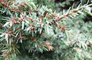 |
| Image 5 ID | 946 Click image to enlarge |
| Image 5 Description | East Stonesdale. The Uppermost Scar from below. | 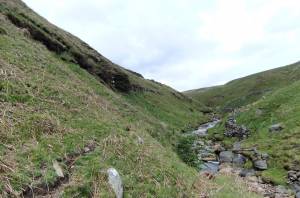 |